
Walk a Beaumont Street by Parcel
A street-by-street search in Beaumont works best when one known address becomes the seed. The county web search identifies the parcel key, RivCoView lets the searcher follow adjoining polygons, and the assessor office or a recorded deed supplies the owner name. Planning GIS adds zoning, while a directory or census source can speak to past occupancy. The address trail is therefore a chain of records keyed to the same land, not a single public roster.
- Enter the street number and name in Riverside County Property Search and save the APN, assessment result, and date checked.
- Open RivCoView, select the parcel, and note the boundary, nearby APNs, assessed value, recent sale context, and linked map PDF.
- Use the Assessor's public computers or office roll with the address or APN when an owner name is needed.
- Search the Recorder by the owner or grantee, then preserve the document number, date, legal description, and grantor.
- For a historical address-directory result, ask the library or archive for the exact Beaumont volume, then compare the printed address with the parcel record.
Repeat the method one parcel at a time along a block face. A street name can cross subdivisions, and an address label can change while the legal description remains the better anchor.
Beaumont Street Directory APN Search
Riverside County's Property Search accepts an address or APN. For an address, enter only the street number and name, such as 1234 Main. The result is a parcel and assessment starting point. It is not an online owner-name directory. Save the APN before moving to a map, deed, permit, or records request.
| Property Address | Text search key. Street number and street name only. |
|---|---|
| Parcel Number / APN | Text search key. Copy the county format from a map or tax bill. |
| Search | Submits the selected address or APN and returns the parcel start. |
| Owner display | Withheld from the web assessor search; public office access is the documented route. |
The county's map guidance says parcel sheets are built from subdivision maps, recorded deeds, and road surveys. They show APNs, lot lines, dimensions, acreage, street widths, adjoining parcels, and recorded-map references. They do not show a street address or owner. That absence is useful: it tells the searcher which next office is needed.
The Riverside assessor map instructions connect the map route to RivCoView. Use the map to check whether the address sits on the expected block and whether the adjacent parcel is actually the next parcel in the chain.
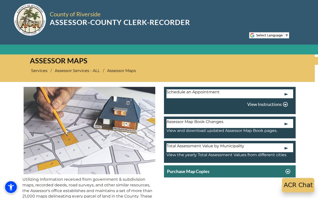
The map screen is a boundary tool. A name must come from the assessor office, recorder index, or another lawful record route.
Beaumont Street Records on Maps
RivCoView adds a visual layer to the Beaumont street directory. Select a parcel, inspect its boundaries, and click adjacent polygons or the linked assessor map. A selected parcel can provide assessed value, recent sale context, acreage or geometry, nearby APNs, and the map reference. Those fields help keep two streets with the same name or two parcels in one development from being treated as the same place.
The viewer does not turn the block into a list of occupants. The county map omits names and addresses, while the owner name is handled through public office access or a deed party. Treat a parcel card as a location key. Record the APN, legal description, subdivision or lot reference, and date before looking for a person.
The county Assessor FAQ explains why an address result and an owner result are separate steps. The distinction also protects against a common error: reading an assessed-value line as if it were proof of current residence.
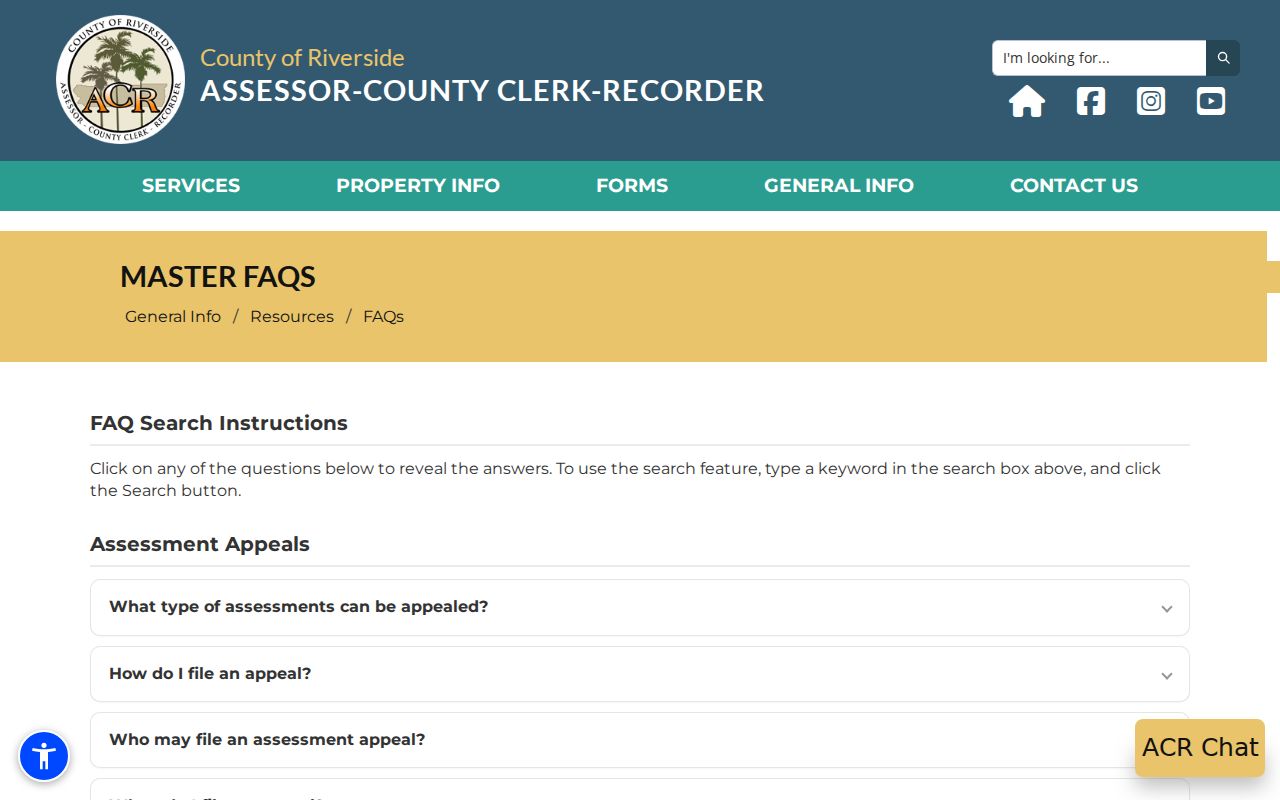
County property guidance supports a parcel-first search, followed by a custodian check for the name or document behind it.
Beaumont Records by Street
The address records that support a Beaumont street directory answer do not all have the same subject. The assessor follows land and ownership, the GIS follows geometry and planning, the Recorder follows parties and instruments, and city departments follow permits or administrative files. The voter tool is a personal response and restricted voter files have approved uses. The coverage table keeps each record set in its lane.
| Record set | Keeper | What it shows | Access |
|---|---|---|---|
| Property Search | Riverside Assessor | Address-to-APN and assessment starting point | Free online search |
| RivCoView and map | County Assessor | Parcel edges, adjoining APNs, values, map reference | Free online viewer and PDFs |
| Deeds and liens | County Recorder | Grantors, grantees, dates, instruments, chain identifiers | Web index from 1974; office images and copies |
| Planning GIS | City of Beaumont | Zoning designation by address or APN | Free city map |
| Permits and city files | Planning or City Clerk | Application status and releasable records | CSS, email, or CPRA request |
| Voter file | California and Riverside Elections | Restricted registration fields for approved purposes | Personal lookup or application |
The APN is the useful join. It links the county map to an office ownership roll, a deed legal description, a city zoning query, or an address-based request. A street name alone is weaker because it may be shared across subdivisions and record eras.
Beaumont Address Records: Three Clues
Three address forms appear in a Beaumont address-record search. The situs address is the physical location of the parcel. A mailing address is where assessment correspondence goes. A legal description identifies the lot, block, subdivision, or metes-and-bounds land in the recorded instrument. They can point to the same place, but they do not mean the same thing.
- Situs address
- The location label used to find the parcel on a street or city map.
- Mailing address
- The destination for tax or assessment correspondence, which may be different from the parcel.
- Legal description
- The recorded land identity that can remain useful when a street label changes.
- Plat
- A recorded subdivision map that shows lots, blocks, roads, dimensions, and reference information.
- Criss-cross directory
- A historical directory arranged by address or street rather than only by surname.
A different mailing address can suggest a non-occupant owner, but it does not identify every person at the situs. Conversely, matching mailing and situs addresses do not prove a complete household. Keep these clues separate in notes and requests.
Address normalization also matters when the question reaches backward. Compare the legal description, subdivision, lot or block, APN, historic map, and printed street form before treating two entries as one Beaumont property.
Beaumont Planning GIS by Address
Beaumont's Planning Viewer returns zoning by street address or APN. That is a planning layer, not a resident or owner directory. It can explain a parcel's current zoning context and help a records request use the right address or APN. The city's CSS Portal shows application and plan-review status through an account tied to the submitting email. Named online categories include Home Occupation and Sign permits; other planning questions can go to planning@beaumontca.gov.
Planning records are useful when a street has grown in stages. A permit or plan-review entry can date a physical change, while the city records center can handle a described request for releasable material. Planning GIS and the county map should agree on the APN before a result is carried into a deed search. For current permit requests and fees, use the Beaumont Planning page rather than an older fee sheet.
The Beaumont zoning information page identifies the address and APN search route. It helps distinguish a land-use answer from the ownership and occupancy questions that belong to county records.
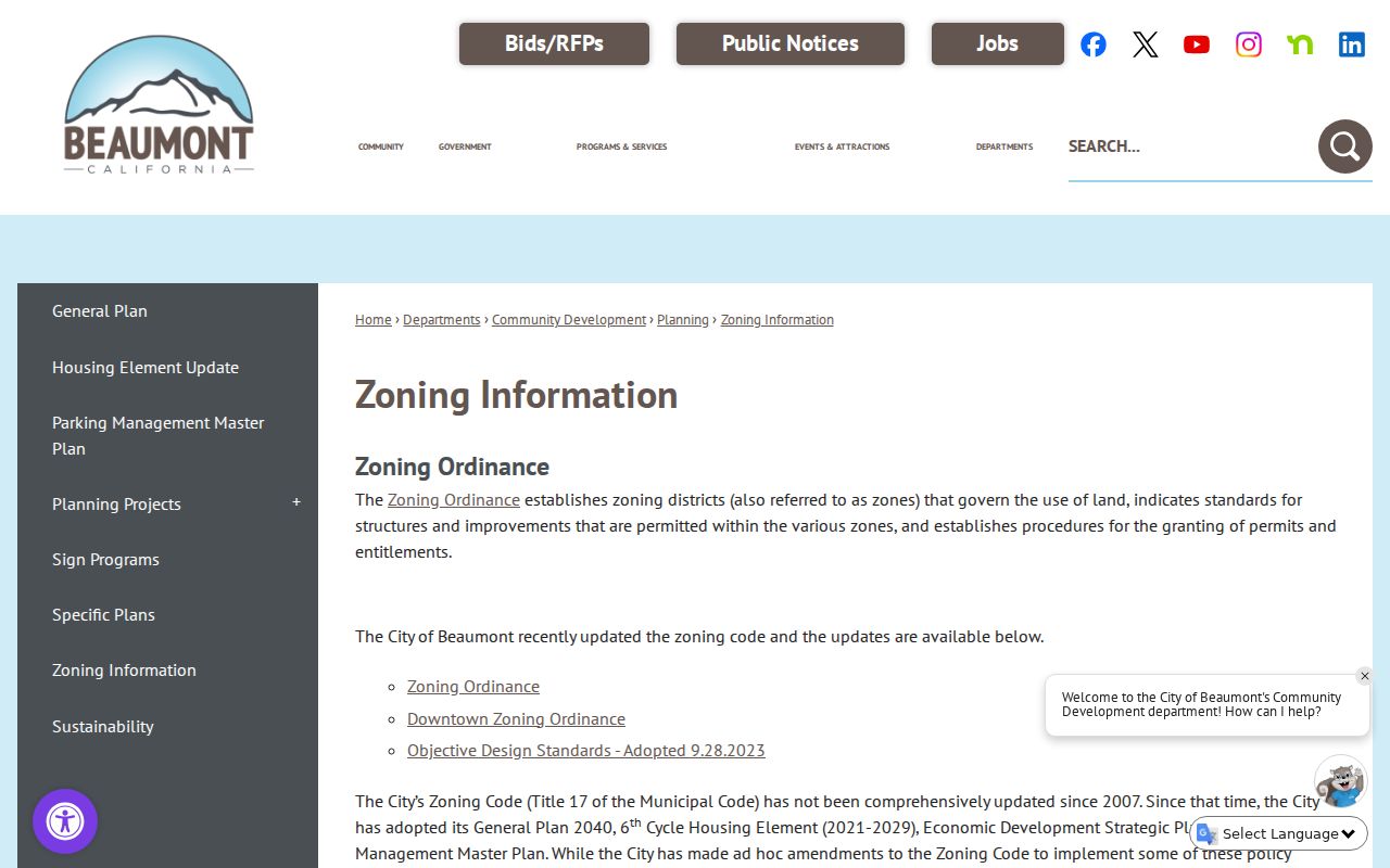
City GIS adds zoning context to a parcel, but it does not add a household name to the map.
Beaumont Street Records in CFD Areas
The Beaumont Property and Special Assessment Finder is a local address tool. Enter a property address or the PIN from a tax bill to see each city-administered community facilities district, its current-year assessment, and its final tax year. A CFD result can identify development context when an address search reaches a newer planned area. It does not identify household members or replace a parcel or deed record.
Use the CFD name as a second search term in city plan files, public records requests, and newspaper archives. The assessment line is a clue about a district, not proof of a community association roster or a person's presence. The result should be saved with the address, PIN, date checked, and APN if available.
The Beaumont special-assessment finder is therefore best used beside, not instead of, the property search and planning GIS.
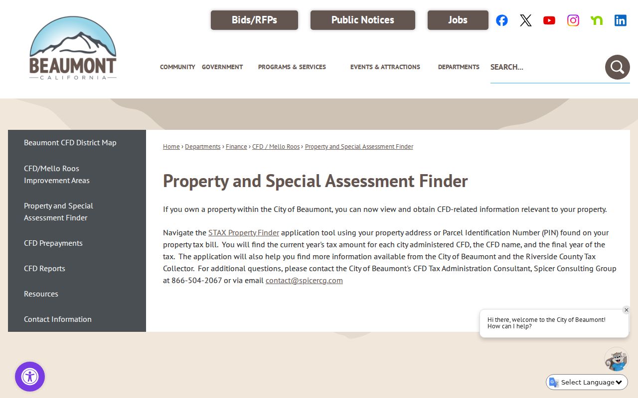
The finder adds a district and assessment layer to the address trail without claiming to list residents.
Beaumont Deed Records by Address
Riverside deeds are indexed mainly by party, date, and document, not by a street-address browse. Once the county office supplies the current owner or a recorded deed supplies a grantee, search that person as grantee in the relevant date range. Find the purchase deed, read the grantor, then search the grantor as an earlier grantee. Repeat until the online cutoff or a record gap.
- Keep the APN, subdivision, lot or block, and legal description from the first instrument.
- Search the current grantee and narrow by date and document type.
- Read the instrument identifier and grantor, then confirm that the legal description matches.
- Search the earlier seller as grantee, preserving name variants and party roles.
- Before 1974, ask the Recorder about office indexes, books, or archival film rather than assuming the web result is the start of the property history.
This is the modern part of the address trail. Historical criss-cross volumes and census schedules can add who was associated with an address, while deeds show recorded transfers. A deed party is not automatically the person who occupied the parcel. The county's restrictive-covenant project is another document-specific route: its OCR and review work can flag covenant instruments, but a land restriction still does not identify an occupant.
When the question shifts from a whole street to one person, the Beaumont resident lookup path keeps name verification and court, vital, and license records in the foreground.
The Beaumont Street Directory Has Limits
Address records can show a parcel, an owner, a recorded party, a planning status, or a historical listing. They do not provide a complete list of people associated with a location. Additional occupants, protected persons, unrecorded presence, utility customers, and DMV address data are outside this public chain. Ownership is not occupancy, and a booking address can be stale or supplied by the subject.
California's My Voter Status tool is also not a browse-by-street directory. Voter-file access is tied to permissible election, scholarly, journalistic, political, or governmental purposes, and protected participants are excluded. The published fields cannot be republished simply because an approved file was obtained.
Lawful use. Beaumont street and address records are suitable for personal genealogy, property history, civic research, and source checking. Do not use a name or address to stalk, threaten, intimidate, impersonate, or harass anyone. California Penal Code section 646.9 addresses stalking, and other conduct may trigger separate laws.
Specific Plans Explain Beaumont Streets
Seventeen Beaumont Specific Plan communities and plans give the address directory a useful geography layer. Fairway Canyon, Tournament Hills, Olivewood, Solera, Sundance, Four Seasons, Hidden Canyon, Noble Creek Vistas, Kirkwood Ranch, Three Rings Ranch, San Gorgonio Village, and Seneca Springs appear among the named areas. Each plan is a boundary or land-use source, not a public member directory.
Older documents may use former names. Fairway Canyon and Tournament Hills were associated with Oak Valley or SCPGA, and Olivewood was formerly Heartland. Search current and former names together when following a permit, plan, deed notice, or newspaper reference. That approach keeps a street-level search tied to Beaumont's growth history rather than a generic neighborhood label.
The city's Specific Plans list is the starting point for those boundaries and adopted documents.
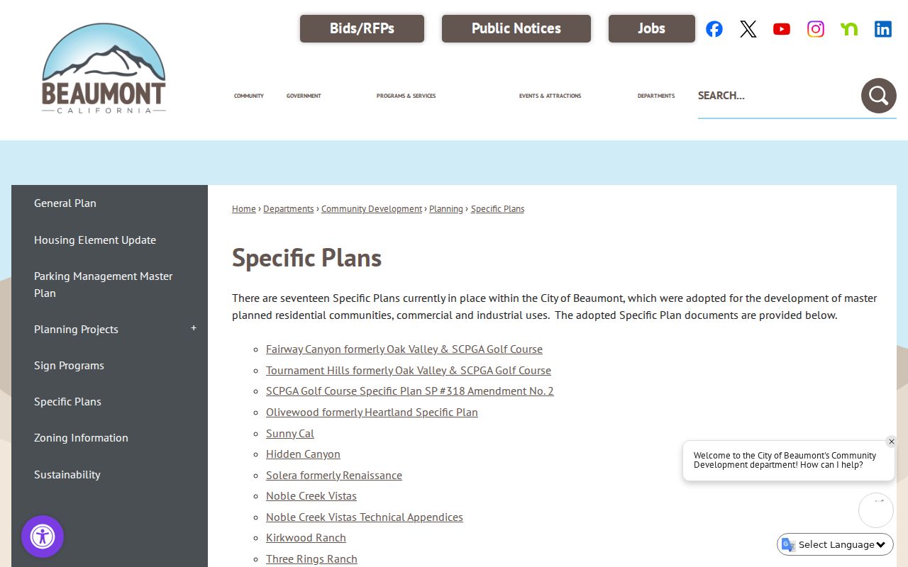
Specific Plan documents explain development geography while leaving names to the proper county or city custodian.
Beaumont Street Records After 1974
The online Recorder index begins January 1, 1974. For an address-record question that reaches earlier, shift to office indexes, deed books, archival film, the county archives, and the library. County Clerk online documents begin January 1, 1893, but that earlier cutoff applies to clerk documents such as fictitious business names, environmental filings, notaries, and registrations, not to a complete pre-1974 deed chain.
Riverside County supports online, mail, and in-person copy orders. The Recorder's office can also explain what an earlier grantor-grantee search requires. Keep a request narrow: give the APN, legal description, party names, date range, and instrument type. A precise request makes a missing online result a channel problem rather than a false conclusion that nothing existed.
The documented county service route is the safest handoff when a web index no longer reaches the era being researched. Keep the request narrow and ask the custodian which earlier index or book applies.