
Beaumont Neighbors by Block
A block lookup combines parcel geometry with the record office that controls the next fact. RivCoView and the assessor map show adjacent parcels and APNs. The assessor office can provide ownership access. The Recorder indexes parties to deeds and liens. Beaumont Planning GIS shows zoning, and Specific Plan documents explain development geography. Voter files are restricted, while community rosters were not verified as public sources.
| Source | What it shows about a block | Access |
|---|---|---|
| RivCoView and assessor map | Parcel edges, adjoining APNs, dimensions, values, and map references | Free online viewer and map PDFs |
| Assessor office roll | Owner tied to an APN or address in the public roll | Office computers or counter |
| Recorder index | Recorded parties, instruments, dates, and legal descriptions | Web index; office images and copies |
| Beaumont Planning GIS | Zoning by address or APN | Free city map |
| Special Assessment Finder | CFD name, current amount, final tax year | Address or PIN search |
| Specific Plan documents | Named development boundaries and planning context | City documents online |
| Voter file | Limited registration fields for approved uses | Application or personal self lookup |
The block-lookup table keeps geography and identity separate. An adjacent parcel is a spatial fact. A deed party is a recorded role. Neither one supplies a complete list of people who may be present nearby.
Find Beaumont Neighbors by Parcel
Start with one known address. Enter the address in Riverside County Property Search, save the APN, then open RivCoView. Select the parcel and follow visibly adjoining polygons or the linked map PDF. The assessor map can show adjoining APNs, dimensions, lot boundaries, streets, acreage, and recorded-map references. Repeat the sequence for the parcels that touch the starting property.
This is a visual block method. The map does not display ownership or street addresses, and RivCoView is not an online neighbor list. Names come later from the assessor office or a deed index. Keep the APN, legal description, subdivision, and map date for each parcel so the block record can be checked.
- Save the seed address, APN, map reference, and date checked.
- Mark each adjacent APN and its position on the block face.
- Use the county office roll or recorded document to identify the permitted public name field.
- Use Planning GIS or the Special Assessment Finder for zoning and district context.
- Stop at the boundary of what the custodian actually discloses.
The Riverside assessor map guidance explains the map layer and its limits.
Beaumont Neighbor Maps Show Edges
Riverside County maintains more than 21,000 assessor map sheets derived from government and subdivision maps, recorded deeds, and road surveys. Their strength is geometry. A sheet can show parcel or lot boundaries, dimensions, acreage, street width, adjoining parcels, and a recorded map reference. Their absence of street addresses and owner names is equally important.
That omission prevents a map from becoming an unsupported list of Beaumont neighbors. Use the APN as the handoff to the public-service roll, Recorder index, or city planning request. A map can show which parcels touch. A custodian decides which name or document field is available.
The county property FAQ describes the online address and APN search, office-only ownership access, liens, and copy paths.
Beaumont Neighbor Records by APN
Once the surrounding APNs are mapped, move each one through the proper record chain. The property search identifies the parcel. The assessor office supplies the public ownership route. The Recorder search uses a party name, date, instrument, or document type. Planning GIS adds zoning. A city records request can seek a described permit or administrative record.
Recorded deeds are indexed primarily by party, not by a street-wide browse. If a deed gives a grantee, search that grantee and retain the grantor, legal description, and recording number. For a whole block, handle one APN at a time. Do not turn a shared street name into a shared identity.
| Parcel key | APN from the county address or map search. |
|---|---|
| Spatial check | RivCoView and assessor map show the adjacent geometry. |
| Name source | Assessor office, recorded deed, or a permitted public record field. |
| Planning layer | Beaumont zoning or plan context by address or APN. |
| Request fallback | City online, written, or verbal records request for a described item. |
Beaumont Neighbor Communities in Plans
Beaumont's 17 named Specific Plan communities divide the newer city into planning geographies. Fairway Canyon, Tournament Hills, Olivewood, Hidden Canyon, Solera, Noble Creek Vistas, Kirkwood Ranch, Three Rings Ranch, Sundance, San Gorgonio Village, Seneca Springs, and Four Seasons are among the listed areas. A plan document can explain why nearby parcels share a development name or why a city record uses a former project label.
Use current and older terms together. Fairway Canyon and Tournament Hills were associated with Oak Valley or SCPGA, and Olivewood was formerly Heartland. These are map and records clues, not proof of membership, association standing, or a person's presence.
The Beaumont Specific Plans list is the public route for named plans and adopted documents.
Beaumont Neighbor Community Records
No official citywide neighborhood-association umbrella directory or public member roster was located in the Beaumont research. That gap should be reported plainly. Specific Plan documents can describe boundaries and rules. Beaumont Chamber's member directory can filter current organizations and civic contacts. Beaumont Library and the San Gorgonio Pass Historical Society can answer local-history questions. None should be treated as a current list of every household on a block.
Beaumont Library District
Local photographs, oral histories, maps, and reference help
San Gorgonio Pass Historical Society
Pass-area archive inquiry for focused names and places
Send a focused inquiry with the block, plan name, person or place variants, and date range. A request for “everyone nearby” is less likely to match a real collection than a question about a map, event, or named record.
Beaumont Neighbor Safety Records
Beaumont Police Records can hold releasable arrest, crime, missing-person, property, traffic, vehicle, firearm, pawned-article, and other report categories. The completed request goes to PDRECORDS@beaumontpd.org, identification is required, and release is picked up at the Records Window. Most releasable reports are available within two business days, subject to privacy and active-investigation review. The 2024 form states paper records cost $0.45 per page.
Riverside Sheriff's inmate system accepts a booking number or last name, with optional first name, date of birth, and sex. It supplies custody or booking information, not proof of a current Beaumont address. A booking address may be stale, withheld, or supplied by the subject.
The Beaumont Police Records route describes the request and pickup process.
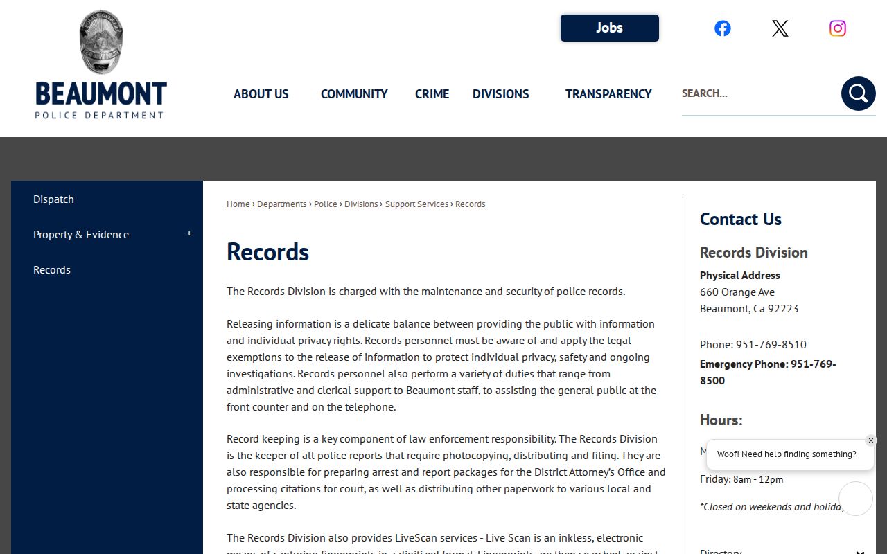
Police records are incident records with release rules, not a directory of the people who live on a block.
The Riverside Sheriff inmate-information page points to the inmate information system, which has its own limits and legal disclaimer. Read its fields as a booking result only.
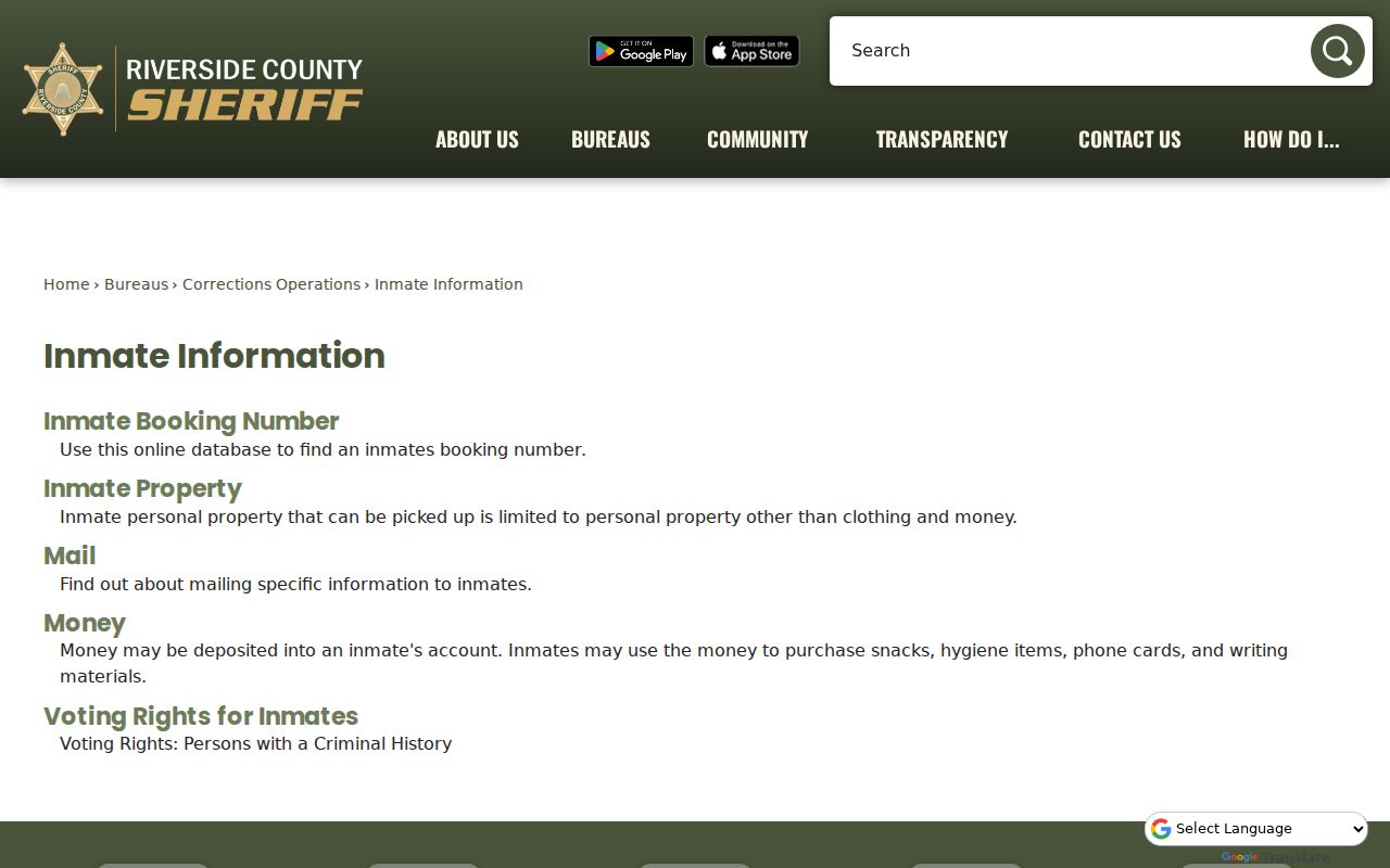
A custody lookup must not be used as a substitute for parcel, deed, planning, or residence evidence.
California Files Do Not List Beaumont Neighbors
California My Voter Status is a personal lookup that asks for identity fields and returns the user's own registration and election information. It does not offer casual browse-by-street access. Riverside County voter-file access is governed by Elections Code sections 2180 through 2194 and state regulations, with permissible election, scholarly, journalistic, political, or governmental purposes.
An approved voter file can contain fields such as name, residence and mailing address, precinct, status, party preference, registration date, and participation history, while driver-license numbers, Social Security numbers, signatures, and protected information are withheld. Availability does not authorize republication or neighbor enumeration. Safe at Home participants and other protected records remain confidential.
The California My Voter Status lookup is therefore a self-check route, not a Beaumont neighbors directory.
Beaumont Neighbor Occupancy Limits
A county owner record, recorded deed, or mailing address describes a legal or administrative relationship. It does not establish everyone who occupies the parcel. Additional occupants, protected persons, unrecorded presence, utility customers, and DMV address data are outside the public block chain. A matching mailing address may be useful evidence, but it is not a complete household record.
For a current name question, use the resident lookup workflow with a stable identifier. For a full named-street chain, use the Beaumont street directory method. For a historical block, use library, census, newspaper, and archive sources rather than treating today's APNs as a past household list.
Beaumont Neighbor Privacy Limits
Public records can support block geography, genealogy, civic research, and property history, but the lawful-use boundary remains active. California's Safe at Home program supplies a substitute mailing address and forwarding service for eligible participants. The California DROP platform can send a deletion request to registered data brokers, but it does not erase deeds, court records, or the source records held by public custodians.
When a record does not disclose a name, the correct response is to stop at the boundary or ask the custodian about an authorized route. Do not infer a protected person's address from a nearby parcel, a custody record, a license listing, or a public association clue.
Lawful use. Beaumont neighbors research is for personal, lawful purposes such as genealogy, civic geography, local history, and source checking. Never use a name, parcel, police record, or address to stalk, threaten, intimidate, impersonate, or harass anyone.